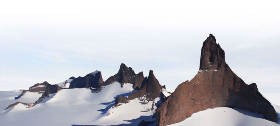
Scientists have released the most detailed map ever created of the land hidden beneath Antarctica’s thick ice sheet. The map reveals a vast landscape of mountains, valleys, plains, and deep canyons that have remained buried under ice for millions of years. This breakthrough offers a clearer picture of the frozen continent’s hidden terrain.
The research helps experts better understand how Antarctica’s ice sheet may respond to climate change in the coming years. By revealing what lies beneath the ice, the map provides crucial insight into how ice flows, melts, and moves toward the ocean.
To create the map, scientists relied on satellite observations along with data tracking glacier movement. By combining these sources, they were able to estimate the shape and structure of the bedrock beneath the ice. The final map displays tens of thousands of geological features across Antarctica, including towering mountain ranges, wide valleys, and smooth lowlands.
Glaciologist Robert Bingham from the University of Edinburgh, who co-led the study, stressed the importance of accurate bedrock mapping. He explained that the shape of the land beneath the ice plays a major role in controlling how glaciers behave.
Scientists noted that rough bedrock creates friction, slowing the movement of ice, while smoother surfaces allow glaciers to flow faster. This movement directly affects how much ice reaches the ocean and contributes to rising sea levels worldwide.
The shape of Antarctica’s bedrock is also critical for predicting ice stability. Scientists use computer models to estimate future ice loss, and more detailed maps help improve the accuracy of these predictions. Bingham said the new data allows better projections of global sea-level rise.
Antarctica is one of the largest continents on Earth. It is about 40 percent larger than Europe, 50 percent larger than the United States, and roughly half the size of Africa. Much of this land has never been directly observed due to the continent’s thick ice cover.
In other related news also read Antarctica’s Thwaites Glacier Losing Grip as Cracks Outpace Melting
The new map provides a strong foundation for future scientific research. Scientists believe it will help improve studies of ice-sheet dynamics, melting patterns, and Antarctica’s response to rising global temperatures. As climate change accelerates, this detailed map marks a major step forward in understanding the planet’s most frozen region.