The Pakistan Meteorological Department has forecasted that a westerly wave is likely to approach northwestern parts of Pakistan on Saturday evening, persisting until the morning of March 16.
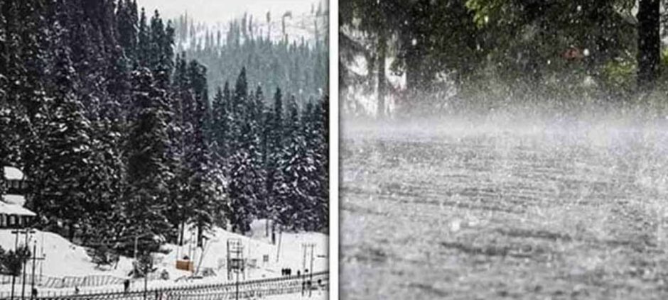
Under this weather system, partly cloudy to cloudy conditions with chances of moderate rain, wind, thunderstorms, and snowfall over high mountains (with isolated hail) are expected in districts including Chitral, Dir, Swat, Kohistan, Shangla, Battgram, Buner, Malakand, Mansehra, Abbottabad, Haripur, Khyber, Mohmand, Peshawar, Bannu, Swabi, Mardan, Charsadda, Nowshera, Bajaur, Orakzai, Kurram, Kohat, Hangu, D.I. Khan, Zhob, Barkhan, Chaman, Ziarat, Gilgit-Baltistan, and Kashmir.
Meanwhile, rain, wind, thunderstorms, and isolated hail are also expected in major cities and surrounding areas including Islamabad, Rawalpindi, Murree, Galliyat, Attock, Jhelum, Chakwal, Talagang, Gujranwala, Hafizabad, Wazirabad, Sargodha, Mianwali, Sheikhupura, Gujrat, Khushab, Mandi Bahaudin, Lahore, Sialkot, Narowal, Faisalabad, Jhang, Chiniot, Bhakkar, Layyah, and Dera Ghazi Khan from the night of March 14 to the morning of March 16.
The Met Office has warned that a second western disturbance may approach western parts of the country on the night of March 17.
Possible Impacts and Safety Advice:
- Landslides may occur in vulnerable areas of upper Khyber Pakhtunkhwa, Gilgit-Baltistan, and Kashmir.
- Lightning strikes could affect isolated locations.
- Tourists and residents are advised to exercise caution and avoid unnecessary travel.
- Daytime temperatures in upper parts of the country may drop by 3–4°C.
- Farmers should take precautionary measures to protect crops from the adverse weather.
Also read: Ramadan 2026 Weather Report Across Pakistan