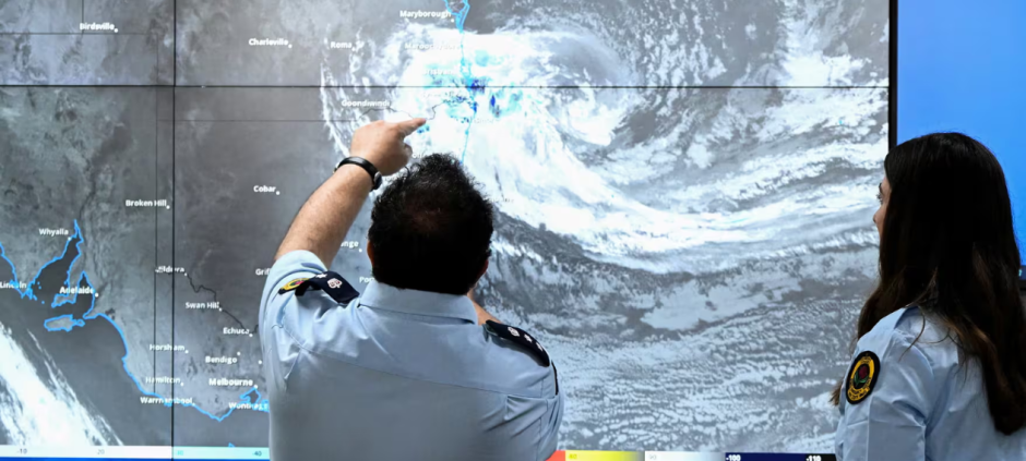
Tropical Cyclone Alfred has unexpectedly slowed, pushing back its anticipated landfall on Australia’s east coast by at least 24 hours. Initially forecast to strike early Friday, the cyclone is now expected to hit the southeast Queensland and northern New South Wales region on Saturday morning.
The delay is raising concerns about extended periods of heavy rainfall, damaging winds, and the increased risk of flooding, especially in low-lying areas. Meteorologists are closely monitoring the situation as coastal communities brace for the approaching storm.
Also Read: Eastern Australia Prepares for Cyclone Alfred, Most Southern Cyclone in Decades
This shift in Alfred’s path is attributed to a stalling maneuver it made over the Tasman Sea, caused by a high-pressure ridge that redirected its movement. The cyclone’s steering flow weakened, slowing its advance and leading to an unexpected loop in its trajectory.
Authorities have issued severe weather warnings, advising residents to prepare for potentially hazardous conditions. Although the cyclone is likely to weaken before making landfall, the impacts—especially heavy rain and flooding—could be severe across a wide area.